66
THE COUNTY’S NATURAL ENVIRONMENT
PLANNING ISSUE
Maintaining the unique and
rare natural features of the
county requires the
preservation of important
natural landscapes defined
in the Natural Areas
Inventory. 73% of the area
in these natural landscapes
is now unprotected.
What’s New
•
During the past 20 years, the county, municipalities,
and various non-profit conservation organizations
have been successful in preserving many significant
natural landscape properties. Acquisition, either by
purchasing all land rights or a conservation easement
focused on the land’s natural resources, has been the
most direct route to protecting a piece of land.
•
Currently 27% of the conservation landscapes
identified in the Natural Areas Inventory have been
preserved.
•
Different zoning and subdivision and land
development standards have also been used to
minimize the impact of development on a property’s
key natural resources.
•
Generally since 2000, 19 municipalities have adopted
riparian corridor protection standards.
•
The county’s
and
model ordinances were prepared
to assist municipalities in the protection of unique
natural areas.
Geology
Climate
Hydrology
Floodplains
Air Quality
Steep Slopes
Soils
Wetlands
Woodlands
Wildlife
Natural Areas Inventory
Natural Areas Inventory
The
, updated in 2008, identifies
13 conservation landscapes covering a total of 74,711
acres, or 24% of the county. The landscapes incorporate
interdependent systems of high natural diversity consisting
of large forested tracts, stream corridors, wetlands, and
known locations of rare plants and animals. Each
landscape includes a core area of protected land, though a
majority of the property in each remains unprotected in
private ownership. Efforts to further protect these
landscapes will involve acquisition, land use and
environmental controls, smart stewardship, and education.
Zoning tools such as cluster zoning, performance based
zoning which sets development density based on resource
characteristics, and resource overlay provisions have all
been used effectively.
•
Mill Hill/Deep Creek Conservation Landscape: The
large forested diabase ridge that forms a semicircle at
the western edge of Green Lane Reservoir forms the
core of this landscape.
•
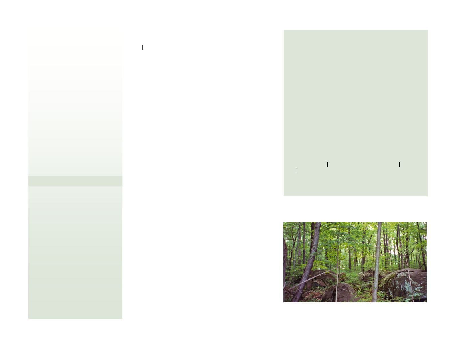
Unami Creek/Ridge Valley Creek Conservation
Landscape: As part of one of the largest forests in
Southeastern Pennsylvania, the scenic boulder-strewn
Unami and Ridge Valley Creeks provide unique habitat
for birds and various plants.
•
Spring Mountain Conservation Landscape: Spring
Mountain, though not the highest feature in the county,
is the prominent center of a rich forested landscape
along the Perkiomen Creek providing exceptionally high
diversity of species of birds and plants, including
several rare species.
•
Swamp Creek Conservation Landscape: As a long
riparian corridor stretching from Zieglersville to
Gilbertsville, the Swamp Creek landscape provides a
rich habitat surrounded by farmland.
•
Stone Hill Conservation Landscape: The forested Stone
Hill landscape straddling Limerick, Lower Frederick,
New Hanover, and Lower Pottsgrove Townships
supports bird diversity throughout the county.
Mature woodlands and diabase boulders characterize the Unami forest in
Marlborough Township.


